Why Liberia?
The geological evolution of offshore Liberia is related to the opening of the Atlantic Ocean. The Harper Basin has a geological history and petroleum system analogous to surrounding geological basins associated with the recent discoveries in Ghana, Cote d’Ivoire, and the conjugate Guyana.
Exploration success along the northern South American coastline has recently influenced the potential prospectivity offshore Liberia with a coastline that can be tectonically reconstructed back to fit with the Guyana Basin.
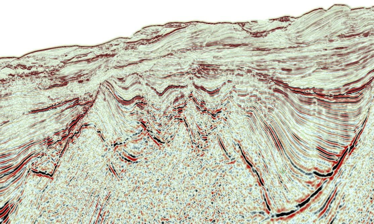
The shelf area features typical syn-rift structures. Identified growth sequences were sourced from quartz-rich sediments eroded from the Precambrian outcrops onshore. During the transition of syn-rift to drift, renewed erosion during the Albian relocates some of the reservoir material on the slope, now pinching out against the basin binding fault. Brightening into the up-dip trap creates interesting leads along the basin.
Sedimentary Basins
- Geographic Location: The Harper Basin is situated in southeastern Liberia, along the border with Côte d’Ivoire. It covers a significant portion of Grand Gedeh County and extends into neighboring countries.
- Sedimentary Description: The Harper Basin is characterized by a diverse range of sedimentary rocks, including sandstones, shales, and carbonates. It exhibits favorable conditions for hydrocarbon exploration, with potential source rocks and reservoirs present within its sedimentary sequences.
- Geographic Location: The Liberia Basin is located offshore, along the Atlantic Ocean coastline of Liberia. It extends from nearshore areas to the continental shelf and slope.
- Sedimentary Description: The Liberia Basin is known for its thick sedimentary sequences, comprising predominantly marine sediments. These sediments include sandstones, shales, and mudstones, with potential source rocks and reservoirs distributed throughout the basin. The basin offers promising prospects for offshore oil and gas exploration.
